



The Light of Mega Revma: A Day in Arnavutköy History, Architecture, and Street Sociology
Stand at Akıntıburnu and look at the water. On the surface everything runs south toward the Marmara. At the same moment, far below, a second river climbs north in the opposite direction: heavy, salty Marmara water. The Bosphorus runs on two stacked currents, and right here, at this headland, they break hardest.
Hard enough that the fifteenth-century humanist Petrus Gyllius wrote that even crabs gave up and walked overland. Rowing boats could not round the point; they were hauled along the shore by rope.
The Byzantines called the place Mega Revma the Great Current. The name changed, but don't assume the current went with it. It is still there, still moving at the same speed. What follows is a walk along its edge, through a neighbourhood shaped by that water, its timber, its light, and two enormous losses.
Where does the name Arnavutköy come from?
The oldest recorded name is Hestai. Under Byzantium the settlement was known as Promotu and Anaplus, and as Asomaton for the churches dedicated to the Archangel Michael; among Greeks, Mega Revma took hold. Today's name comes from the Albanian community that Mehmed the Conqueror settled here Arnavut'un köyü, the Albanians' village.
The date wanders between sources: some give 1468, others place it after 1486, when Albania and Epirus were absorbed into the Ottoman Empire. One account says the settlers were paving masons, which is hard not to enjoy while climbing the cobbled slopes above the shore.
Under Mahmud II a gunpowder works opened here, and the name "Baruthane" briefly entered official records. It never took.
The river that runs backwards
The two layers exist because of a simple difference in level: the Black Sea sits higher than the Marmara. Sources put the gap somewhere between roughly 25 and 40 centimetres. The result is brackish water flowing south on top and salt water pushing north underneath.
Where the strait narrows, the surface current accelerates under the right conditions it reaches 6 to 7 knots. Sailors named the stretch between Arnavutköy and Vaniköy maskara, the mocker; the one between the two fortresses upstream is şeytan, the devil. The vocabulary is its own hazard chart.
In winter, when a hard southerly piles Marmara water northward, the whole system reverses. A counter-current called orkoz forms on the surface, also reaching 6 to 7 knots; the water at the Marmara entrance rises by around half a metre and ferry services can be cancelled. It happens nowhere else in the world.
The current gave the neighbourhood two things at once: a dangerous passage and an excellent fishing ground. Headlands where the flow breaks gather baitfish, which is why anglers line this shore at dawn. That row of rods is not a hobby. It is the tail end of a five-hundred-year habit.
Bay windows, roof lanterns, and the "lace" that wasn't
Arnavutköy's architecture reads like a glossary of late Ottoman domestic building. Stone at ground level, timber frame and lath-and-plaster above. Upper floors cantilever over the street in cumba bay windows, sometimes propped from beneath by angled timber brackets. The bay both wins interior space and works as a fixed telescope aimed at the street and the water.
The curling lines and plant motifs on the façades are a provincial echo of Art Nouveau. The style arrived in Istanbul with the Italian architect Raimondo D'Aronco, who spent sixteen years as chief court architect to Abdülhamid II.
Here is the detail worth carrying with you: most of that lace-like ornament is thought to have been mass-produced. Architectural surveys show the carved eaves, window surrounds and balcony railings were fitted to the façades after the buildings were finished. What looks like handwork was the catalogue product of its day.
Ali Vafi Bey Yalı is the grandest surviving example on the shore: three storeys, two large roof lanterns, a glazed orangery alongside. It belonged first to an Armenian banker, was bought in 1915 by Ali Vafi Bey of Crete, badly damaged in a 1919 fire that started next door, and reconstructed in the 1980s from its original drawings.
The better story, though, belongs to Halet Çambel Yalı. Built in 1820 by Mahmud II's Armenian gardener. In 1836 the Prussian general Helmuth von Moltke, in Istanbul to modernise the Ottoman army, lived here for a time. The house passed by inheritance to Halet Çambel, one of Turkey's first women archaeologists; she and her husband Nail Çakırhan, an Aga Khan Award-winning architect, lived in it for more than half a century before donating it to Boğaziçi University in 2004.
5,973 Greeks, 975 houses
In 1912 a census published in the ferry company's magazine put numbers on the neighbourhood: 493 Turks in 168 houses, 5,973 Greeks in 975 houses, 342 Armenians in 87 houses, 32 Jews and 642 foreigners. Total: 7,482 people. Roughly 80 per cent Greek.
Writing in the seventeenth century, Evliya Çelebi noted the whiteness of the local bread, the musical inclination of the Jewish residents, and how few Muslims lived here. That layering is written into the stone: the Taksiarhis Greek Orthodox Church on Satış Square (1896–1899, funded by Musurus Pasha, built on a cross-in-square plan), the Tevfikiye Mosque on the shore (built 1832–1838 by Mahmud II for his son Prince Tevfik), the ornate 1843 police station beside it, and the remains of the Etz Ahayim Synagogue where Tayyareci Suphi Street meets Tekke Street.
The neighbourhood also burned to the ground once. The great fire of 1887 destroyed 490 houses and 250 shops, most of the lost housing stock belonging to Greek residents. The late nineteenth-century texture you admire today is the product of the rebuilding that followed.
And then that population went out
The 1942–44 Wealth Tax shook the non-Muslim merchant class. On 6–7 September 1955, a mob incited by a false report that Atatürk's birthplace in Thessaloniki had been bombed looted Greek neighbourhoods across the city, Arnavutköy among them. Taksiarhis Church was ransacked and a centuries-old icon was broken and thrown into the street.
The figures are stark. By one study Istanbul's Greek population fell from 105,000 in 1955 to 5,000 by 1975; different studies put the 1955 figure somewhere between roughly 80,000 and 105,000. During the 1964 Cyprus crisis, some 11,000 of the 12,724 Greek nationals resident in Turkey were deported with a single suitcase each, and family ties took roughly 30,000 Greek citizens of Turkey out of the country with them.
The local historian Orhan Türker ends his monograph on the neighbourhood, Mega Revma'dan Arnavutköy'e, deliberately in 1955–60. In his own words, that is the turning point where Greek Arnavutköy went out and Turkish Arnavutköy rose.
As you walk the slopes, look at the inscriptions above the doorways and the wear on the marble thresholds. The addresses of those 975 houses are still there.
Strawberries, bluefish, and vanished vineyards
The slopes above Arnavutköy were known for their vineyards from the sixteenth century. The fruit that carries the neighbourhood's name is a relative newcomer: in 1798 Alexandros Ypsilantis, removed from his post as Prince of Wallachia, planted strawberry runners in his family's neglected vines. The vineyards gave way to strawberry fields.
Two varieties grew here: the small, pale pink, intensely fragrant "Ottoman strawberry" and a darker, larger type. Both were sold as Arnavutköy çileği. The first crop came in May, and enthusiasts arrived with baskets to eat them straight off the plants. Families were brought from Giresun and Rize on the Black Sea coast to work the gardens. The fields held out until the 1960s, then disappeared under the city.
At sea the calendar ran on fish. From September to November, shoals of bonito, bluefish and horse mackerel run south from the Black Sea, reversing in spring. Bonito is called the king of the strait, bluefish the queen; the juvenile bluefish has its own name, çinekop. Under the Ottomans, fixed-net fisheries in the Bosphorus were bought and sold with title deeds like real estate a 1915 figure recorded by Reşat Ekrem Koçu counted 64 designated netting grounds in the city.
1988: the year the houses lost the sea
From the 1960s onward, the widening of the Ortaköy–Arnavutköy road took out most of the buildings on the seaward side; concrete blocks replaced timber. The real severance came in 1988.
Under the "piled road" project of the then metropolitan mayor Bedrettin Dalan, a 1,200-metre stretch of coastal road between Kuruçeşme and Arnavutköy was carried out over the water on 720 steel piles. Seven months, four billion lira. At the opening, Dalan said the road had been completed without demolishing "second-class historic waterfront houses."
The result: buildings whose walls the water once touched now sit behind a road and a strip of fill. Technically, almost nothing in the neighbourhood still qualifies as a yalı, a waterfront mansion. As you walk the shore, remember that the asphalt underfoot used to be sea.
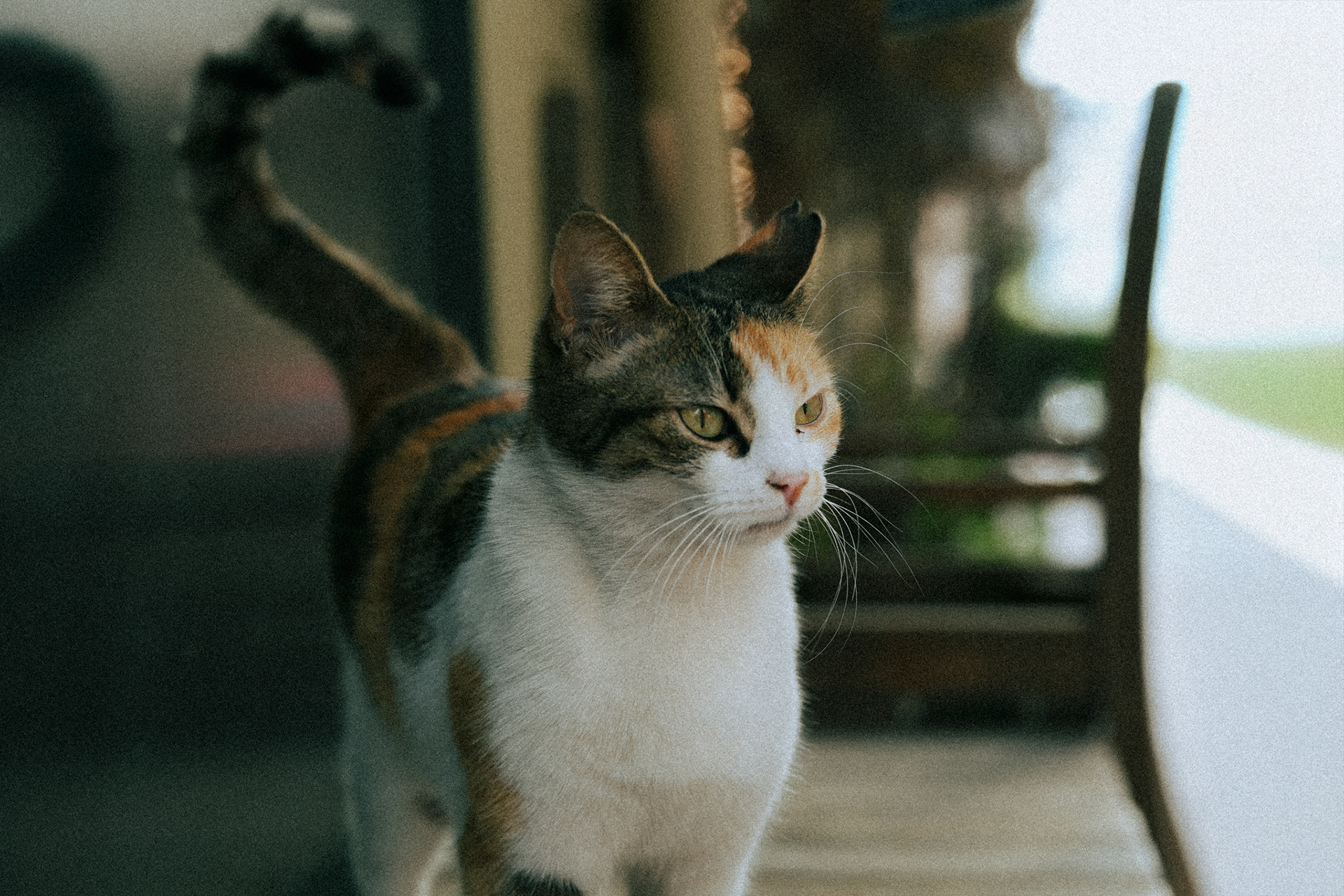
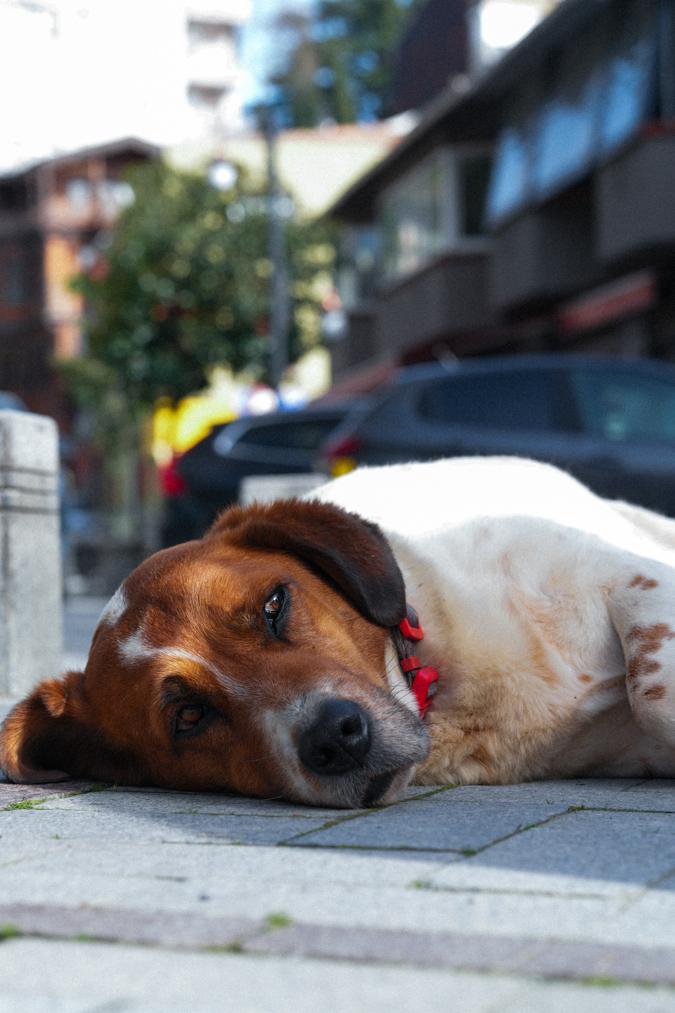
The neighbourhood today: light, shutters, cats
The junction of the main road and Beyazgül Street is the living core. New-wave coffee places, hidden garden cafés, small-batch ice cream, design shops, junk dealers and antique sellers and among them older fixtures like Çelebi Esnaf Lokantası, in business since 1952.
A long-time tradesman, Cengiz Usta, sums up the change in one line: there were fewer restaurants, there were Greek friends, and everyone got along.
The critical thing photographically is which way the neighbourhood faces. Sitting on the European shore, Arnavutköy takes the morning sun head-on, across the water from the Asian side. In the first hours of the day the pastel timber gets the softest possible light, and the bay windows throw deep shadows down the façades.
Visitors who stay on the shore road and the main street conclude the place is three cafés and a view. The actual Arnavutköy is up the hill.
Mega Revma'nın Işığı: Arnavutköy'de Bir Gündüz Tarih, Mimari ve Sokak Sosyolojisi
Akıntıburnu'nda suya bak. Yüzeyde her şey güneye, Marmara'ya doğru akıyor. Ama aynı anda, çok daha aşağıda, ters yönde ikinci bir nehir kuzeye tırmanıyor: ağır, tuzlu Marmara suyu. Boğaz'ın çift katmanlı akıntı sistemi tam burada, bu burunda en sert biçimde kırılır.
O kadar sert ki, 15. yüzyıl hümanisti Petrus Gyllius akıntıya karşı koyamayan yengeçlerin karadan yürüdüğünü yazmış. Kürekli tekneler burnu dönemez, kıyıdan halatla çekilirdi.
Bizanslılar semte bu yüzden Mega Revma dedi: Büyük Akıntı. Ad değişti, akıntı kalmadı sanma hâlâ orada, hâlâ aynı hızda. Aşağıdaki rota, o akıntının kıyısında büyümüş bir mahallenin ışığını, ahşabını ve iki büyük kaybını takip ediyor.
Arnavutköy'ün adı nereden geliyor?
Semtin en eski kayıtlı adı Hestai. Bizans döneminde Promotu, Anaplus ve Başmelek Mikail'e adanmış yapılar nedeniyle Asomaton adlarıyla anıldı; Rumlar arasında Mega Revma yaygınlaştı. Bugünkü ad, Fatih Sultan Mehmed'in bölgeye yerleştirdiği Arnavut topluluğundan geliyor. Rumlar bu yeni adı benimsemedi; 19. yüzyıl ortasına dek Mega Revma demeyi sürdürdüler.
Yerleştirme tarihi kaynaklarda oynuyor: kimi kaynak 1468'i, kimi Arnavutluk ve Epir'in Osmanlı'ya katılmasının ardından 1486 sonrasını veriyor. Bir rivayete göre gelenler kaldırım ustasıydı semtin arnavut kaldırımlı yokuşları düşünülünce insan bu rivayeti sevmek istiyor.
II. Mahmud döneminde burada bir baruthane kurulunca resmî kayıtlara kısa süreliğine "Baruthane" adı da girdi. Tutmadı.
Boğaz'ın altında ters akan nehir
İki katmanı yaratan şey basit bir seviye farkı: Karadeniz, Marmara'dan yüksekte duruyor. Kaynaklar bu farkı ~25 cm ile ~40 cm arasında veriyor. Sonuç, yüzeyde güneye akan tatlımsı su ve dipte kuzeye ilerleyen tuzlu su.
Boğaz daraldıkça yüzey akıntısı hızlanır; uygun koşullarda 6-7 knota kadar çıkabiliyor. Denizciler Arnavutköy ile Vaniköy arasındaki akıntıya "maskara", Anadoluhisarı–Rumelihisarı arasındakine "şeytan" demiş. İsimler kendi başına bir tehlike sözlüğü.
Kışın sert lodos Marmara'nın sularını kuzeye yığdığında sistem tümüyle tersine döner. Yüzeyde orkoz denen ters akıntı oluşur, hızı yine 6-7 knota ulaşır, Marmara girişinde su yarım metre kadar yükselir ve vapur seferleri iptal olabilir. Dünyada yalnızca burada görülen bir olay.
Bu akıntı semte iki şey verdi: tehlikeli bir geçit ve bereketli bir av sahası. Akıntının kırıldığı burunlar yem balığını topladığı için oltacının en sevdiği yerlerdir. Sabah sahilde sıralanan oltalar bir hobi değil, beş yüz yıllık bir alışkanlığın devamı.
Cumbalar, cihannümalar ve "dantel" meselesi
Arnavutköy'ün mimari dili geç Osmanlı sivil mimarisinin bir sözlüğü gibi okunabiliyor. Zemin kat taş, üst katlar ahşap karkas ve bağdadi. Üst kat sokağa cumbayla taşar; çıkmanın altı bazen "el böğründe" denen eğik payandalarla desteklenir. Cumba hem içeride alan kazandırır hem de sokağı ve Boğaz'ı gözlemek için bir dürbün işlevi görür.
Cephelerdeki kıvrımlı hatlar ve bitkisel motifler Art Nouveau'nun taşra yankısı. Üslubu İstanbul'a getiren isim, on altı yıl II. Abdülhamid'in saray başmimarı olarak çalışan İtalyan mimar Raimondo D'Aronco'ydu.
Şu ayrıntıyı bilmiyordum: cephelerdeki o dantel gibi görünen bezemelerin çoğunun aslında seri üretim olduğu düşünülüyor. Mimari incelemeler, oymaların ve balkon korkuluklarının bina tamamlandıktan sonra cepheye eklendiğini gösteriyor. El emeği zannettiğin şey, dönemin katalog ürünü.
Ali Vafi Bey Yalısı sahil hattının en anıtsal örneği: üç katlı, iki büyük cihannümalı, yanında camekânlı bir limonluk. Önce Ermeni bir bankere aitti, 1915'te Giritli Ali Vafi Bey satın aldı, 1919'da komşu yalıdaki yangında ağır hasar gördü, 1980'lerde özgün çizimlerine göre yeniden yapıldı.
Ama en iyi hikâye Halet Çambel Yalısı'nda. 1820'de II. Mahmud'un Ermeni asıllı bahçıvanı yaptırmış. 1836'da Osmanlı ordusunu modernleştirmeye gelen Alman generali Helmuth von Moltke bir dönem burada yaşamış. Yapı miras yoluyla Türkiye'nin ilk kadın arkeologlarından Halet Çambel'e geçmiş; o ve Ağa Han Mimarlık Ödülü sahibi eşi Nail Çakırhan yarım asırdan fazla burada oturduktan sonra 2004'te yalıyı Boğaziçi Üniversitesi'ne bağışlamış.
5.973 Rum, 975 ev
1912'de Şirket-i Hayriye'nin "Boğaziçi" dergisi semtin nüfusunu sayıya döküyor: 493 Türk (168 ev), 5.973 Rum (975 ev), 342 Ermeni (87 ev), 32 Yahudi ve 642 yabancı. Toplam 7.482 kişi. Nüfusun yaklaşık %80'i Rum.
Evliya Çelebi 17. yüzyılda semti anlatırken ekmeğinin ve peksimetinin beyazlığından, Yahudi sakinlerin saz ehli oluşundan ve Müslüman cemaatin azlığından söz eder. Bu çok katmanlı yapı taşa da yansımış: Satış Meydanı'ndaki Taksiarhis Rum Ortodoks Kilisesi (1896-1899, Muzuros Paşa'nın desteğiyle, kapalı Yunan haçı planlı), sahildeki Tevfikiye Camii (II. Mahmud'un oğlu Şehzade Tevfik adına 1832-1838), onun bitişiğindeki 1843 tarihli Süslü Karakol ve Tayyareci Suphi Sokak ile Tekke Sokağı'nın kesiştiği noktadaki Etz Ahayim Sinagogu kalıntıları.
Semt bir kez de tamamen yandı. 1887 yangınında 490 ev ve 250 dükkân kül oldu; yanan stok ağırlıklı olarak Rum ahaliye aitti. Bugün hayran olduğun geç 19. yüzyıl dokusu, aslında o yangının ardından yapılan yenilenmenin ürünü.
Sonra bu nüfus söndü
1942-44 Varlık Vergisi gayrimüslim ticaret sınıfını sarstı. 6-7 Eylül 1955'te, Selanik'te Atatürk'ün evinin bombalandığı yalan haberiyle kışkırtılan kalabalık Rum semtlerini yağmaladı; Arnavutköy de bunların arasındaydı. Taksiarhis Kilisesi yağmalandı, içindeki asırlık bir ikona kırılıp sokağa atıldı.
Rakamlar açık. Bir çalışmaya göre 1955'te 105.000 olan İstanbul Rum nüfusu 1975'te 5.000'e indi; farklı çalışmalar 1955 için ~80.000 ile ~105.000 arasında değerler veriyor. 1964 Kıbrıs krizinde Türkiye'de yerleşik 12.724 Yunan uyruklu Rum'dan yaklaşık 11.000'i bir bavulla sınır dışı edildi; aile bağları nedeniyle onlarla birlikte yaklaşık 30.000 T.C. vatandaşı Rum da ülkeyi terk etti.
Yerel tarihçi Orhan Türker, semtin monografisi Mega Revma'dan Arnavutköy'e'de anlatıyı bilinçli olarak 1955-1960'ta bitirir. Kendi deyişiyle orası "Rum Arnavutköy'ün sönüp, Türk Arnavutköy'ün yükselişi" olan dönüm noktasıdır.
Yokuşlarda gezerken kapı üstlerindeki eski kitabelere, mermer eşiklerdeki aşınmaya bak. 975 evin adresi hâlâ orada.
Çilek, lüfer ve kaybolan bağlar
16. yüzyıldan beri Arnavutköy sırtları üzüm bağlarıyla ünlüydü. Adını taşıyan meyve ise görece yeni: 1798'de Eflak Beyi görevinden azledilen Aleksandros İpsilantis, ailesine ait bakımsız bağlara çilek fidesi dikti. Bağlar yavaş yavaş çilek tarlasına dönüştü.
Sırtlarda iki tür yetişti: küçük, açık pembe, kokulu "Osmanlı çileği" ve daha koyu, iri "frenkçileği". İkisi de "Arnavutköy çileği" olarak anıldı. İlk mahsul mayısta alınırdı; meraklılar sepetlerle tarlaya gelip taze taze yerdi. Bu bahçelerde çalışmak için Giresun ve Rize'den Karadenizli aileler getirildi. Tarlalar 1960'lara kadar dayandı, sonra kentleşmeyle yok oldu.
Denizde ise takvim balığa göre işledi. Eylül–Kasım arası Karadeniz'den güneye inen palamut, torik, lüfer ve istavrit sürüleri, ilkbaharda ters yöne göç eder. Palamut Boğaz'ın kralı, lüfer kraliçesi sayılır; lüferin küçüğü çinekop. Osmanlı'da Boğaz'daki dalyanlar birer gayrimenkul gibi tapuyla alınıp satılırdı Reşat Ekrem Koçu'nun aktardığı 1915 verisine göre İstanbul'da 64 vol yeri sayılıyordu.
1988: yalıların denizden koparıldığı yıl
1960'lardan itibaren Ortaköy–Arnavutköy yolu genişletilirken deniz tarafındaki binaların büyük bölümü yıkıldı, ahşabın yerine beton bloklar dikildi. Asıl kopuş 1988'de geldi.
Dönemin Büyükşehir Belediye Başkanı Bedrettin Dalan'ın "kazıklı yol" projesiyle, Kuruçeşme–Arnavutköy arasında 720 çelik kazık üzerine oturtulan 1.200 metrelik sahil yolu denizin içinden geçirildi. Yedi ayda, dört milyar lira harcanarak. Dalan açılışta yolu "ikinci sınıf tarihî yalıları yıkmadan" tamamladıklarını söylemişti.
Sonuç: bir zamanlar suları duvarlarını yalayan yapılar artık bir yolun ve dolgunun gerisinde. Teknik olarak semtte artık "yalı" sayılabilecek bina neredeyse kalmadı. Sahilde yürürken ayağının altındaki asfaltın deniz olduğunu hatırlamalısın bu yüzden.
Bugünün semti: ışık, kepenk, kedi
Ana caddenin Beyazgül Caddesi ile kesiştiği nokta canlı çekirdek. Yeni nesil kahveciler, gizli bahçeli kafeler, butik dondurmacılar, tasarım dükkânları, eskiciler ve antikacılar; aralarında 1952'den beri işleyen Çelebi Esnaf Lokantası gibi köklü mekânlar.
Esnaftan Cengiz Usta dönüşümü tek cümlede özetliyor: "Daha az restoran vardı, Rum arkadaşlarımız vardı, herkes birbirini severdi."
Fotoğraf açısından kritik olan şey semtin yönü. Boğaz'ın Avrupa yakasında oturan Arnavutköy sabah güneşini karşıdan, Anadolu yakası üzerinden alır. Günün ilk saatlerinde pastel ahşap en yumuşak ışıkla aydınlanır, cumbalar cepheye derin gölgeler düşürür.
Sahil yolunda ve ana caddede kalan ziyaretçi semti üç beş mekândan ibaret sanır fakat asıl Arnavutköy yokuşlardadır.


